The North (Yukon, Alaska, Iceland)
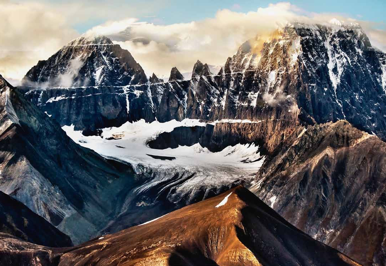
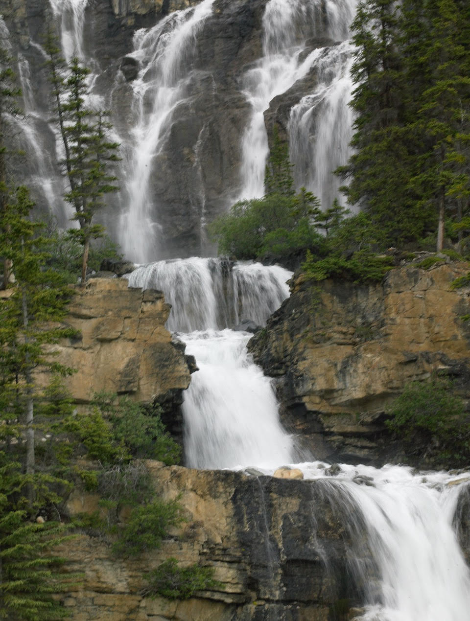
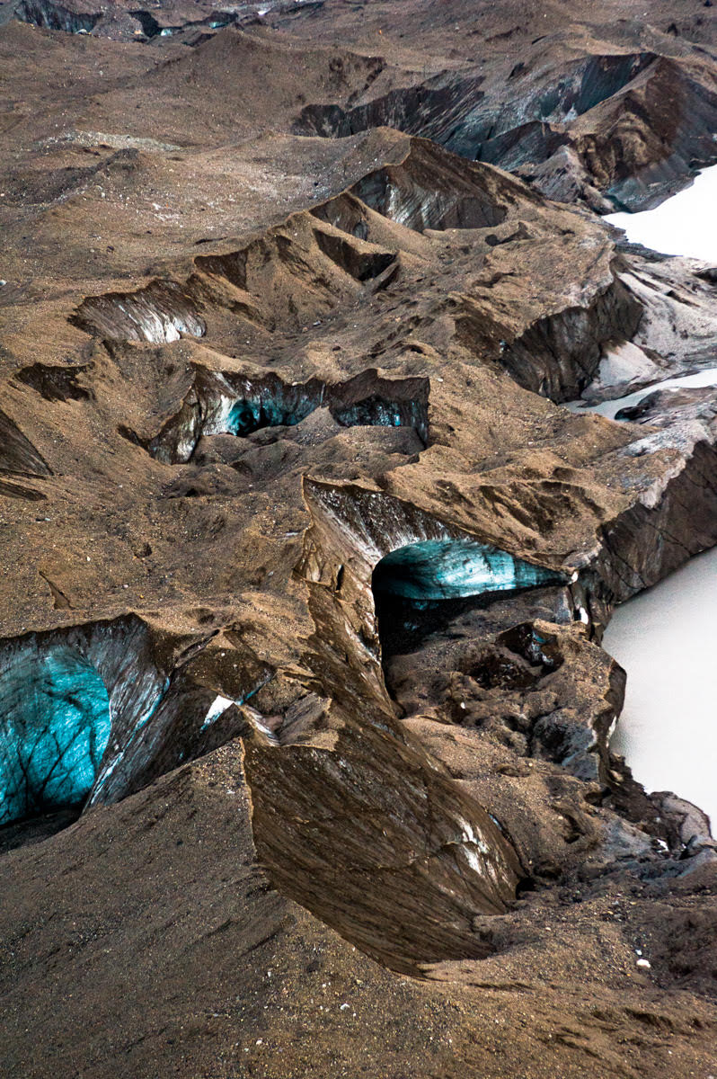
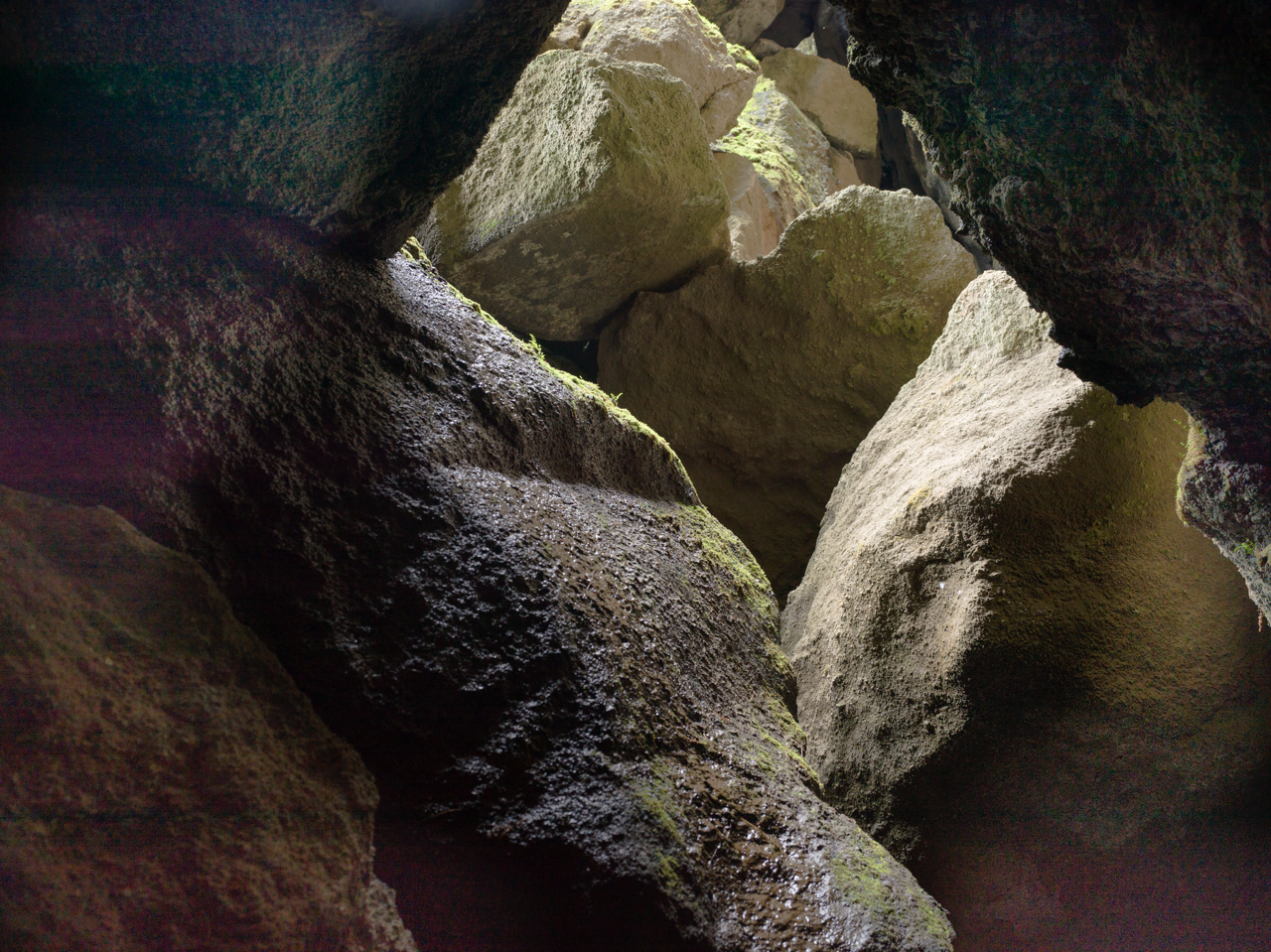
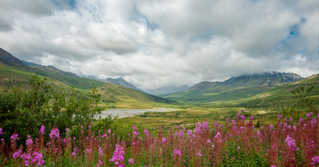
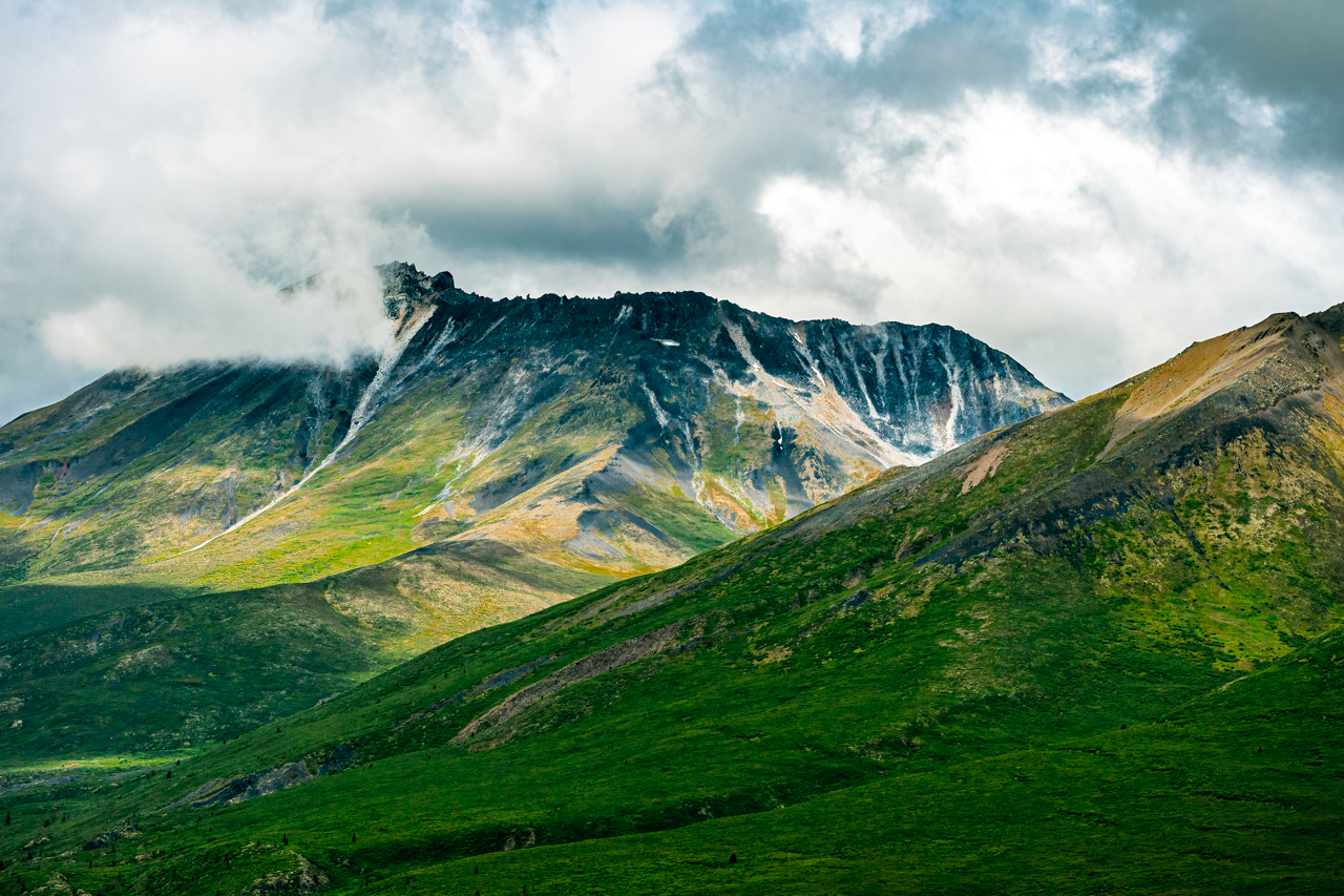
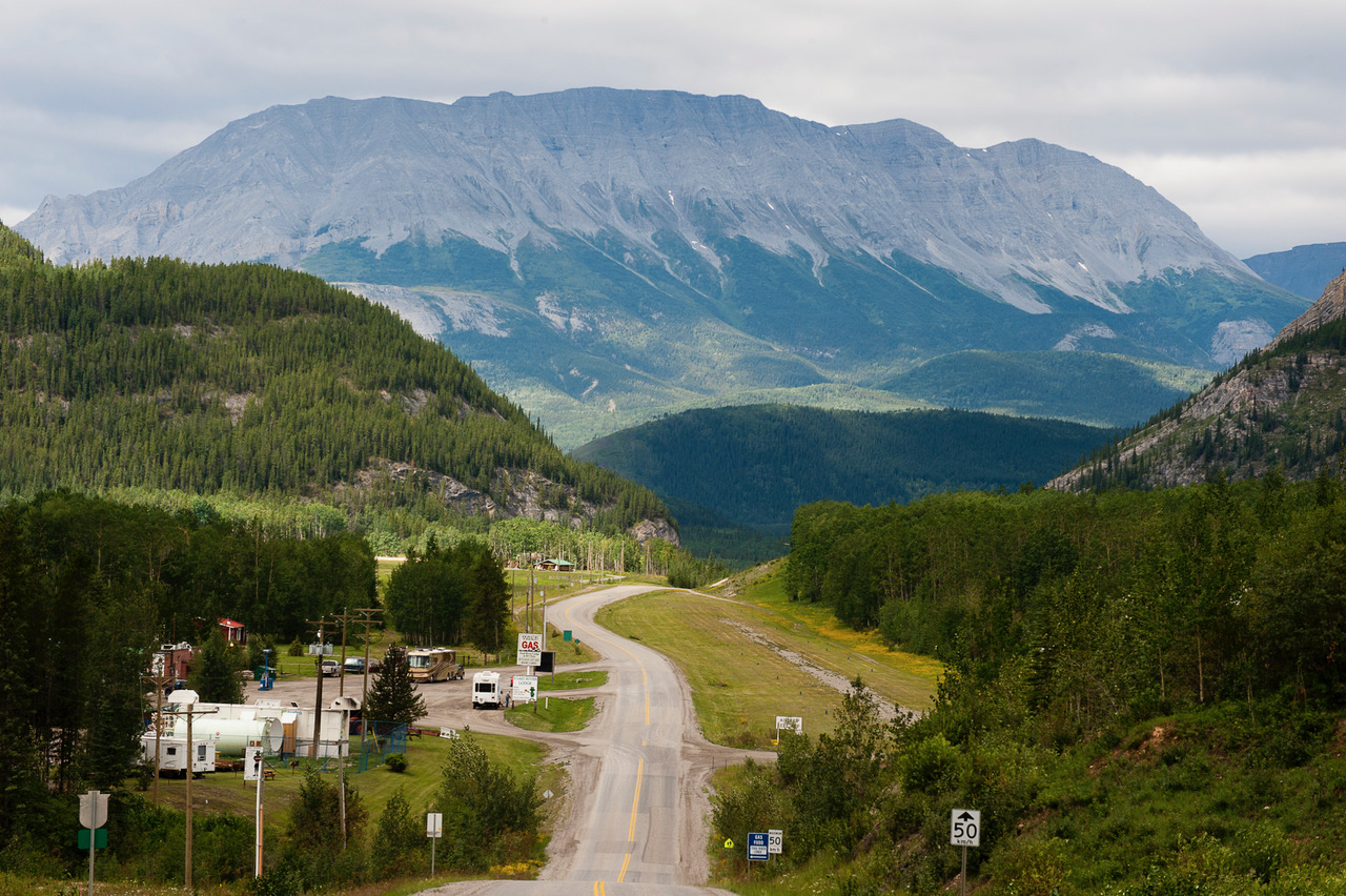
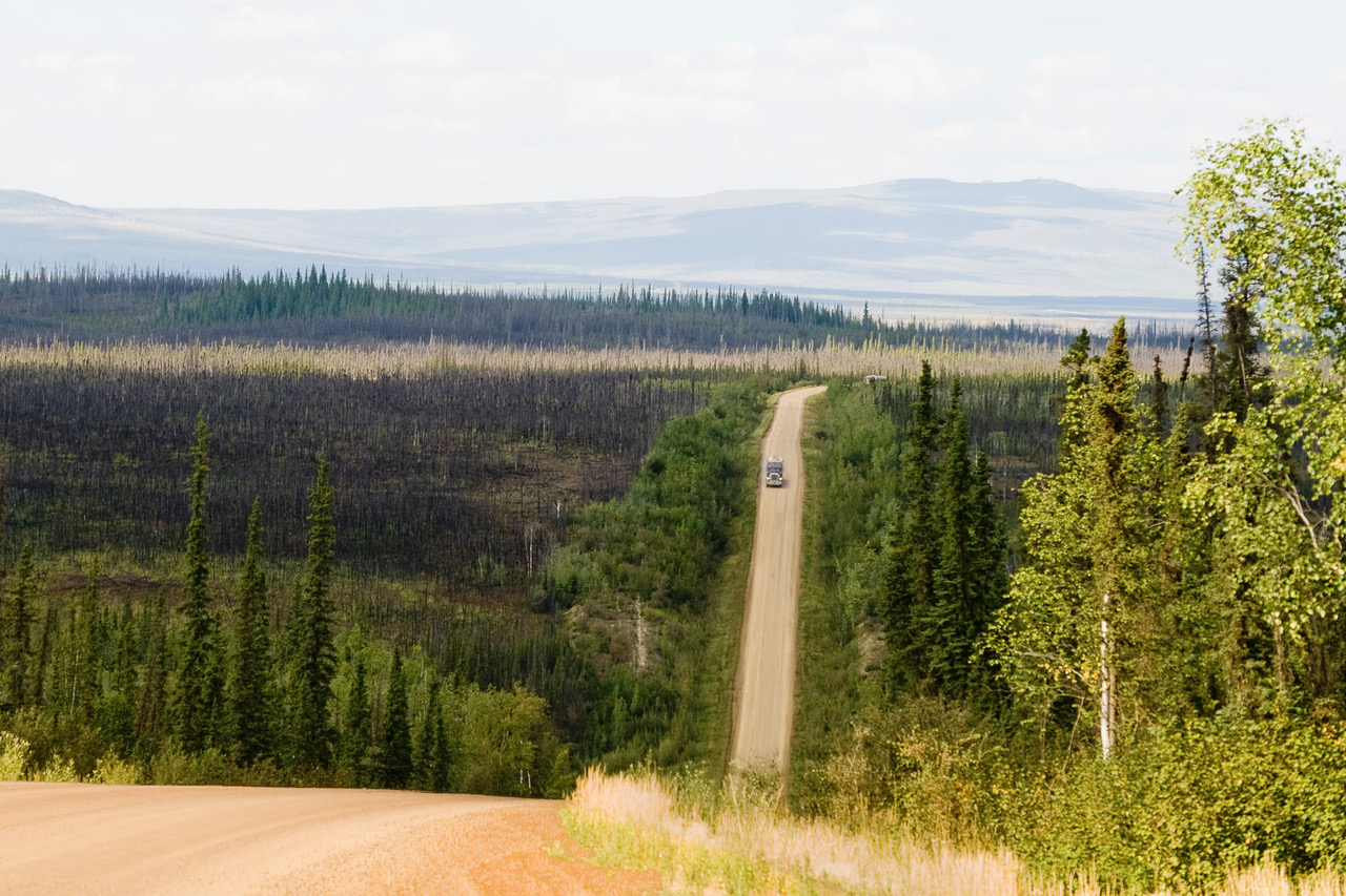
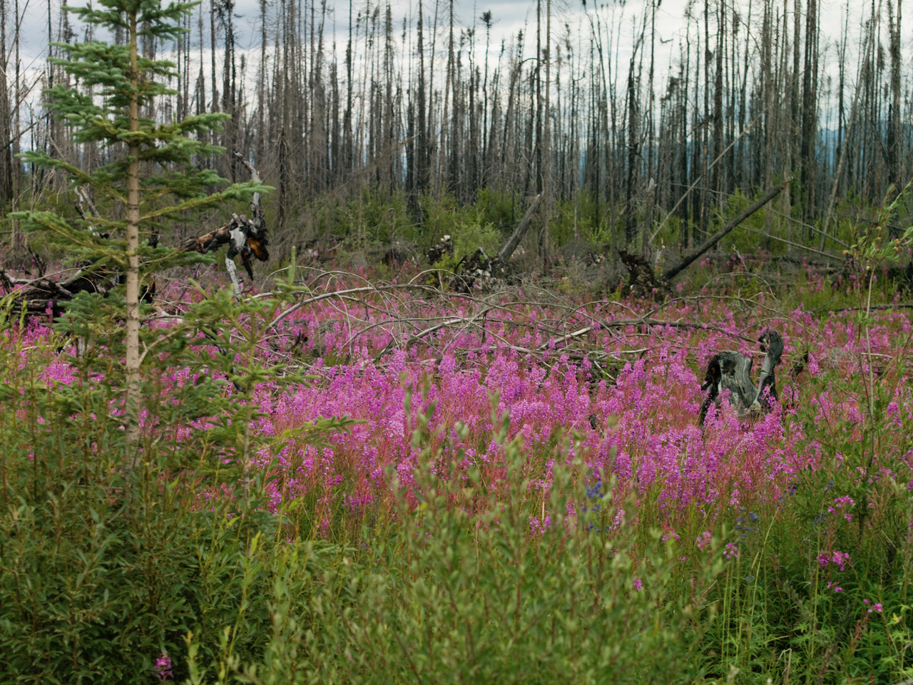
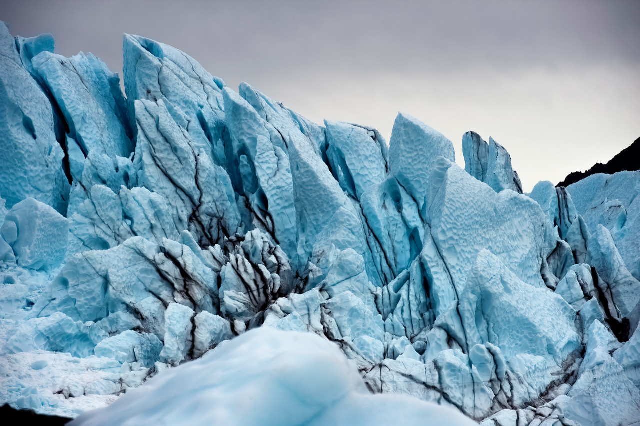
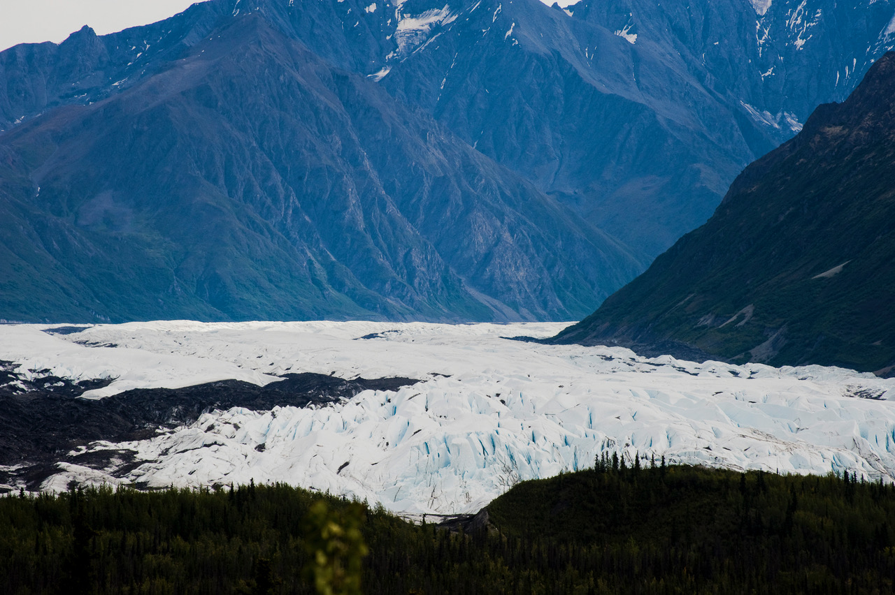
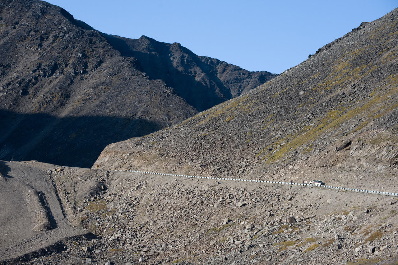
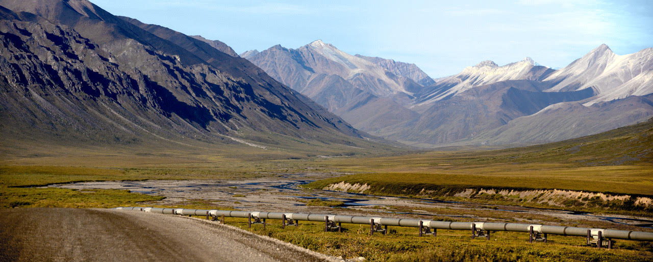
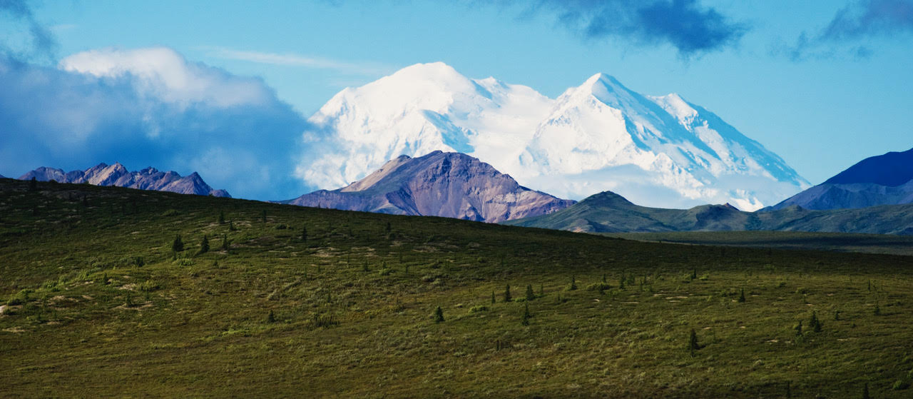
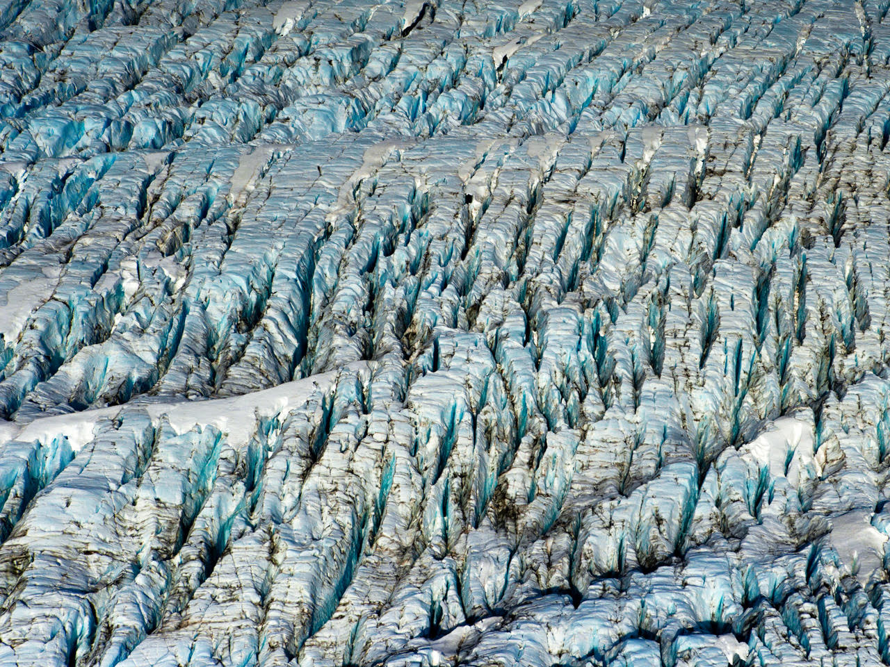
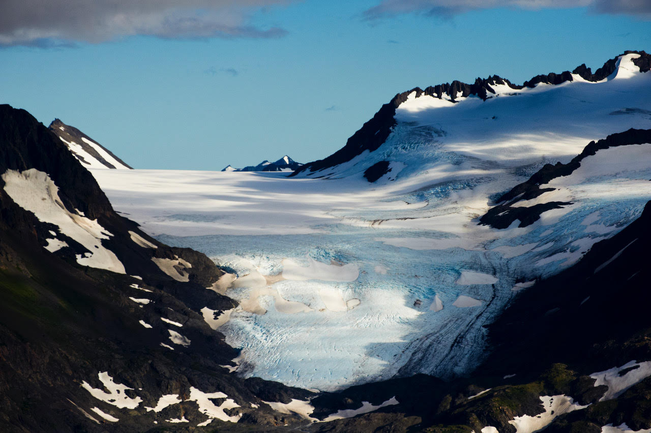
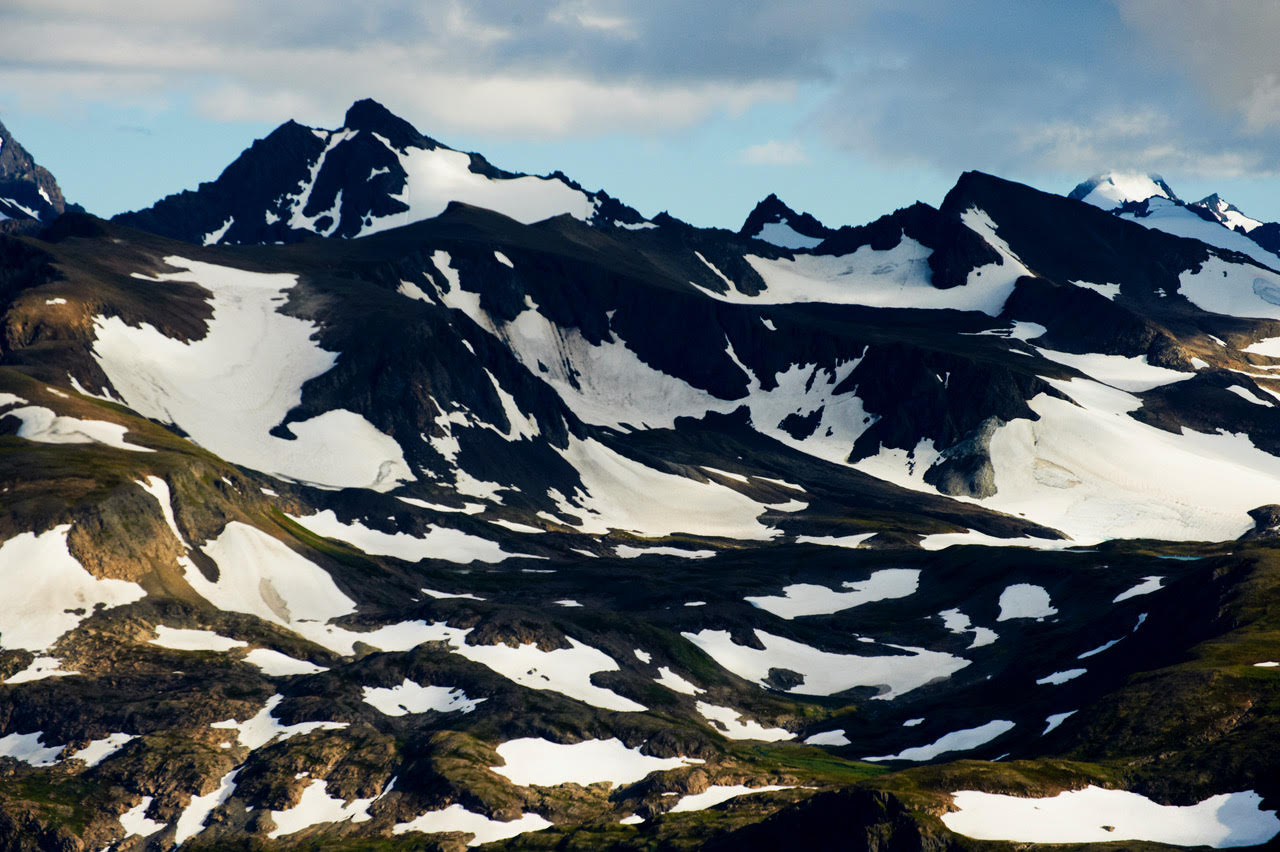
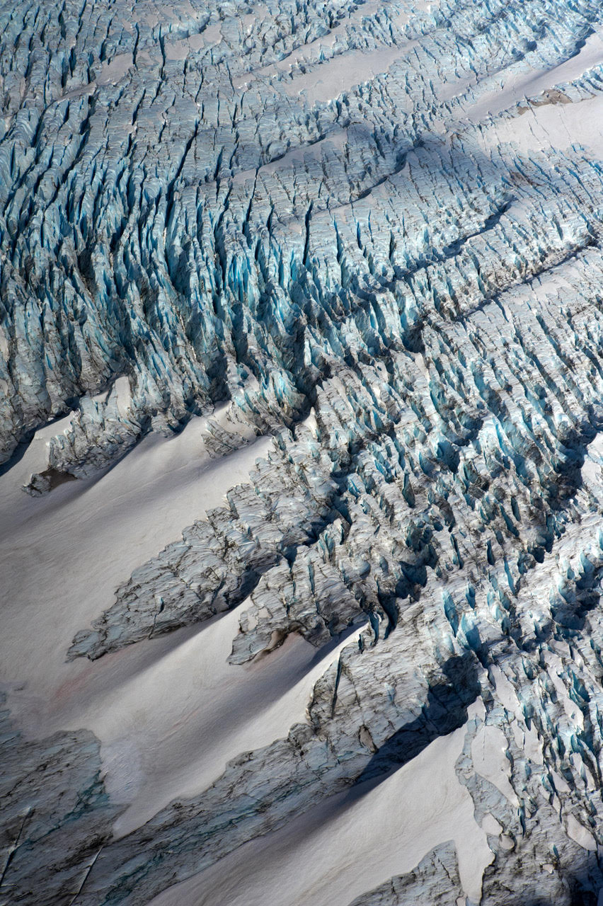
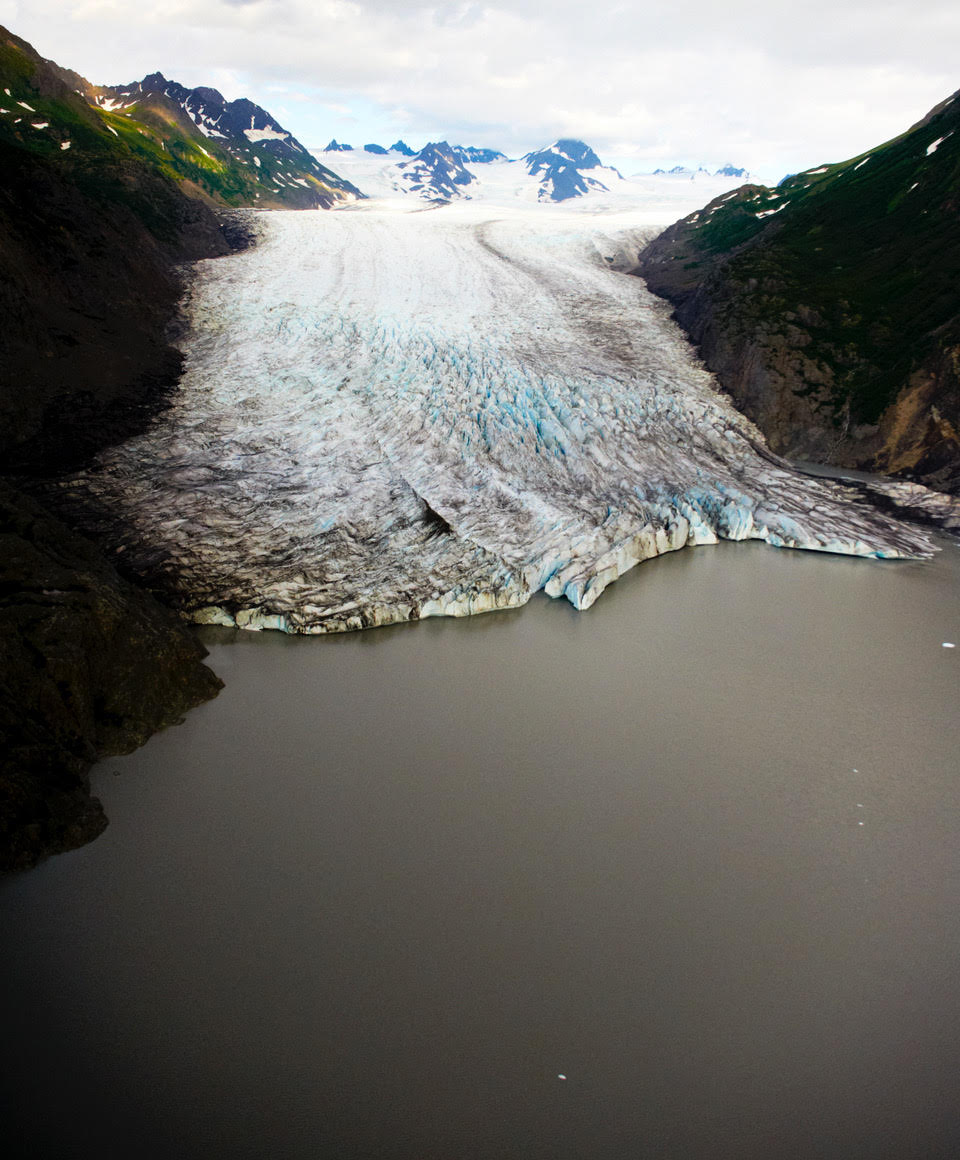
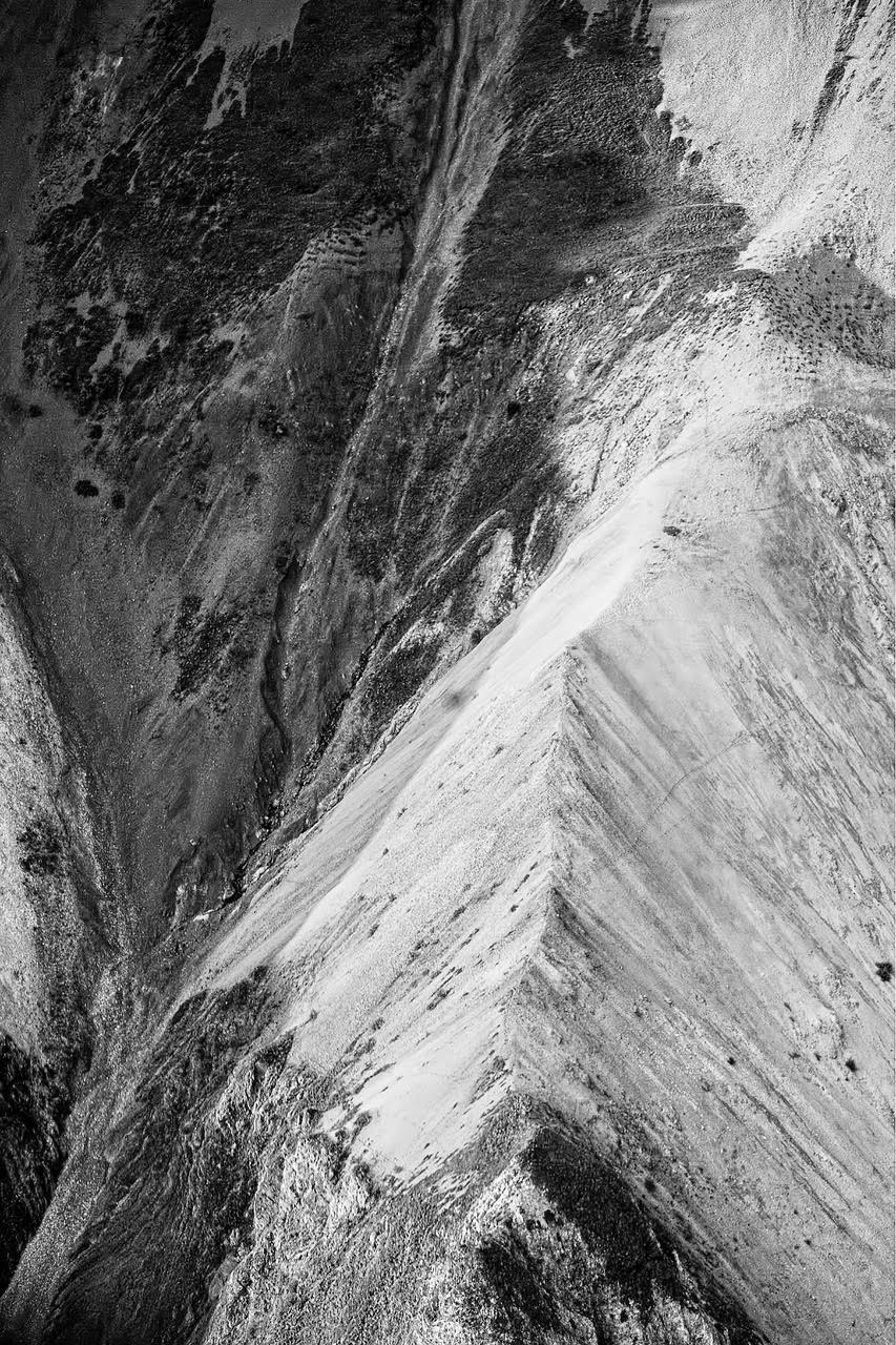
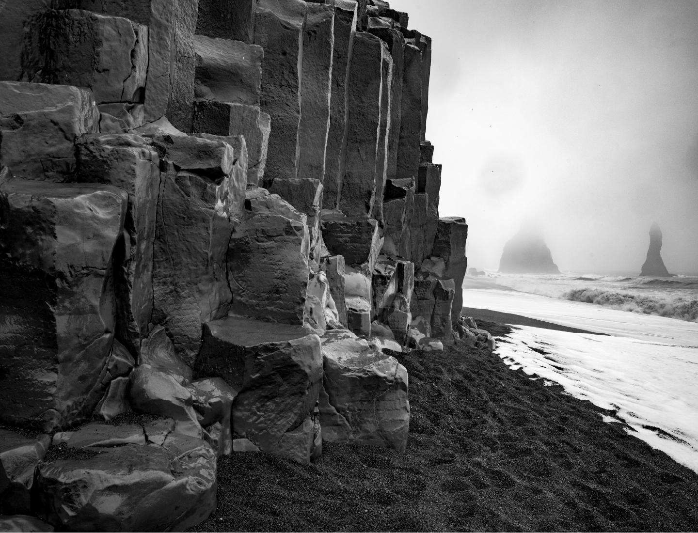
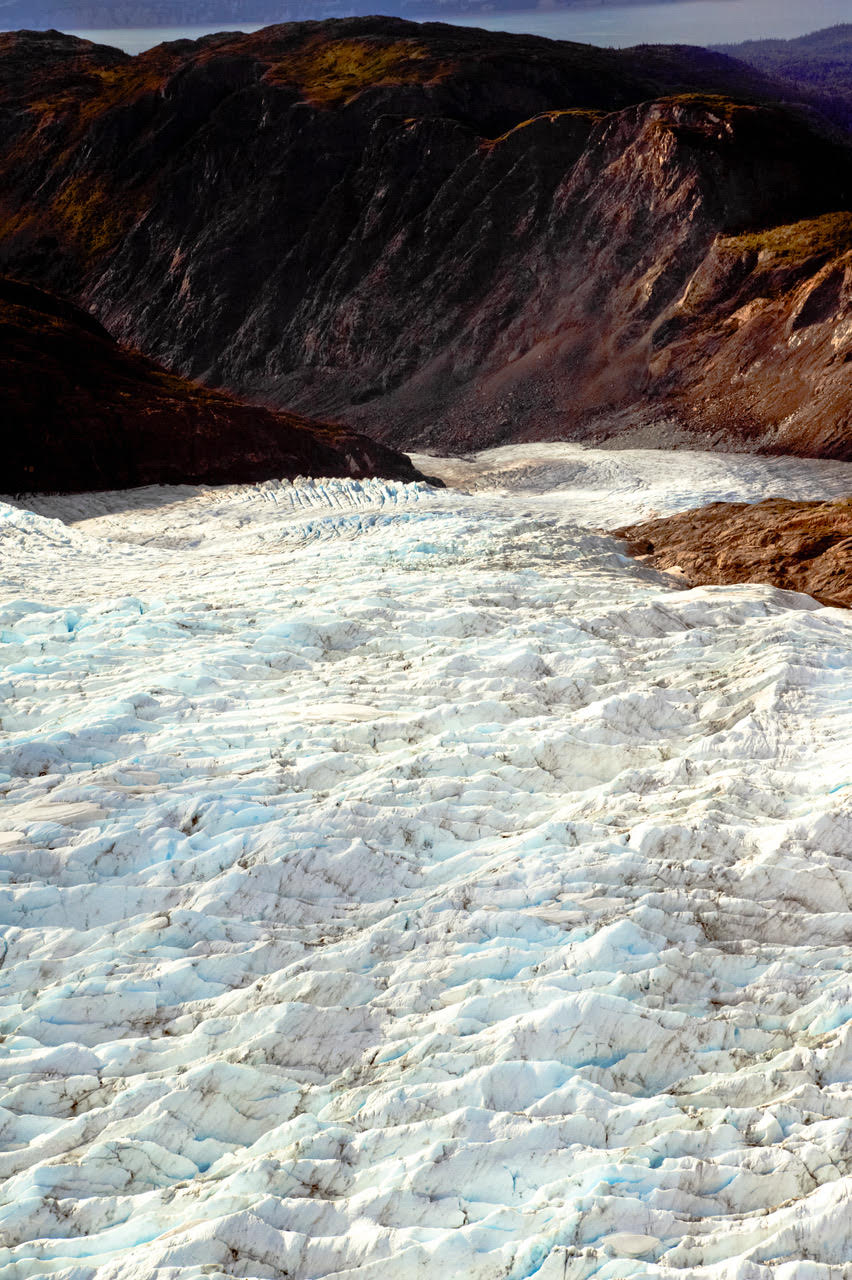
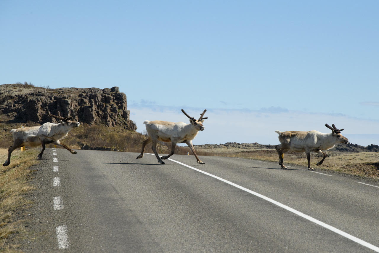
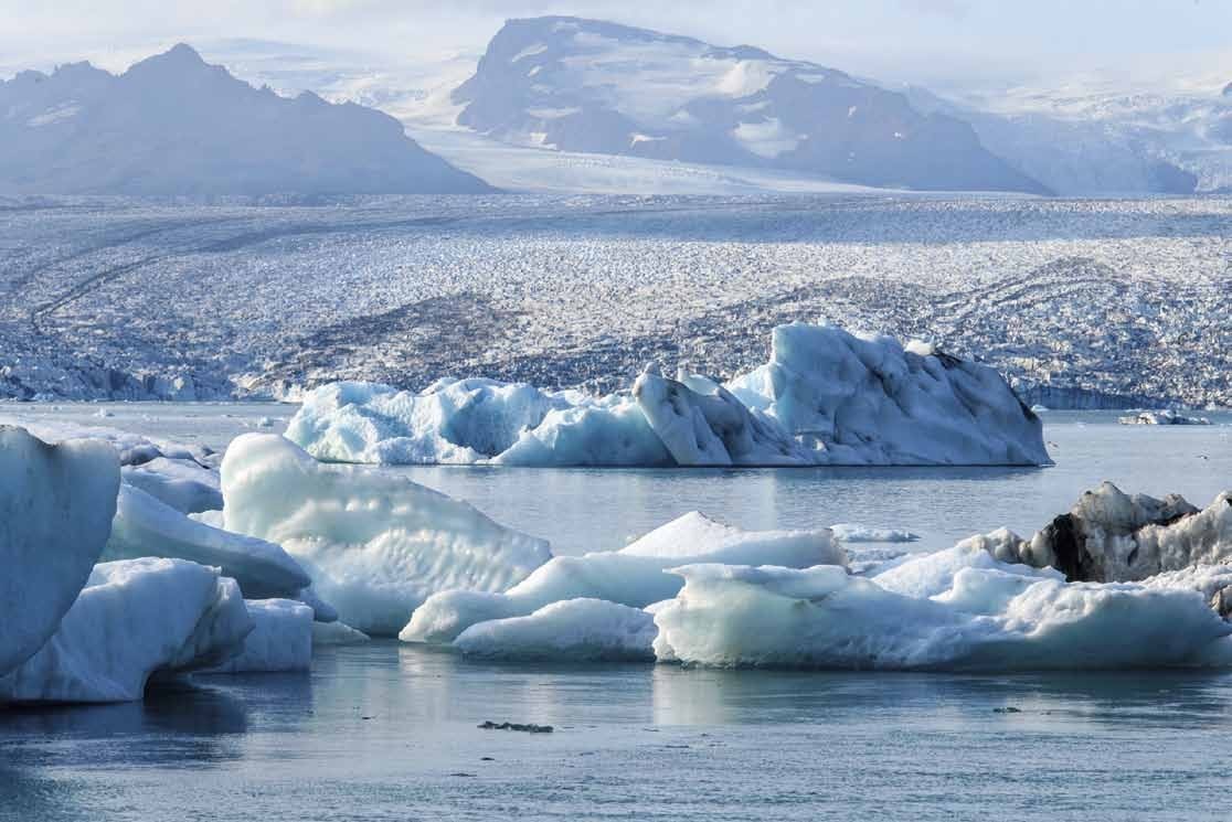
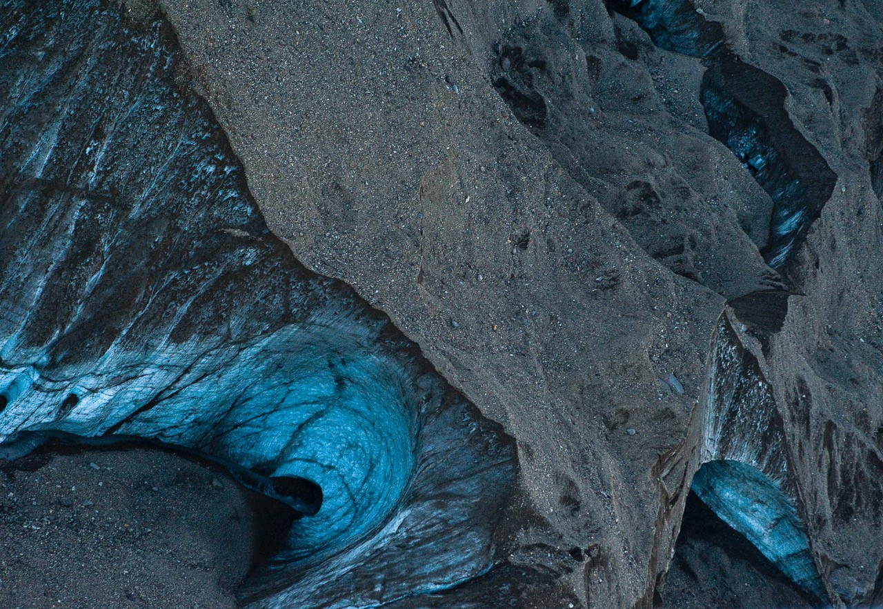
The North Gallery takes you to delicate areas where the glaciers are melting and the climate is rapidly warming. You’ll leaarn what drives glaciers to advance and retreat. Eric Hatch uses his fine art photography to bring climate change to life. You’ll visit places few people have seen or hiked. In some places, the glaciers are hanging on, but in others glacial retreat is obvious. You’ll see images from Canada’s Columbia Icefields Parkway, the remote Tombstone Territorial Park high in the Yukon, and you’ll fly low over immense glaciers among the volcanoes of Alaska’s Kachemak Peninsula. You’ll visit non-touristy parts of Iceland as well.
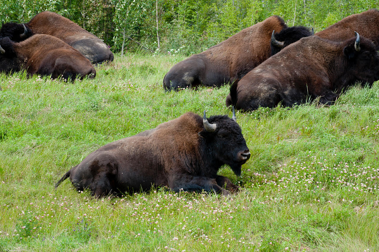
Photography by Eric Hatch is more than a record of landscapes and wildlife. His photography opens a deep visual conversation about global warming. Eric’s images make clear the urgency of dealing with climate change and the horrific price we pay by ignoring it. Text and images explain what is happening, why it is happening, and what we lose by doing nothing.
Eric Hatch presents exhibition-quality images that present both the causes and effects of climate change. Viewers learn how glaciers form and grow, and why they melt. These images show global warming as a clear and accessible reality. Melting glaciers captured in stunning detail not only present a visual document but also share an emotional story. It’s been 20,000 years since the Yukon’s glaciers melted. Next door in Alaska, increased warming presents us with a catastrophic challenge. All of this is made clear through Eric Hatch’s evocative photos and informative text. In clear, readable prose, Eric explains how glaciers form and how and why they retreat.
Visions of the North
Journey with Eric Hatch through the majestic Northern spaces of the Yukon, Alaska and Iceland.
I've spent years photographing the Arctic and sub-Arctic: Alaska, Iceland, New Zealand, places where glaciers are retreating faster than most people realize. This gallery is my attempt to show what's happening up there through fine art photography that doesn't look away from the reality of climate change.
The work is straightforward. Glaciers are melting. Ecosystems are shifting. I'm documenting it. But I'm also trying to create images that do more than just record facts. They communicate something about beauty and loss at the same time, making people feel the urgency without hitting them over the head with it.
The Alaska and Iceland glacier photographs function as both art and evidence. They're meant for exhibition spaces where people come to think and look closely. Museums, galleries, places where photography can start conversations about what we're doing to the planet.
I think of this as part of a larger movement sometimes called Vanishing Horizons: photographers working to preserve landscapes that are disappearing. My approach is to let the images speak without too much editorializing. The glaciers tell their own story if you give them space to do it.
This work has been shown in Art exhibitions about climate change and glacial retreat. I make it available for institutions that want to use visual art to educate people about environmental change. The goal is simple: foster understanding, create engagement, and maybe shift how people think about their relationship to the planet.
These Images are not comfortable work to look at, and they are not supposed to be.
